Lush woods cover much of the Luxembourg countryside with babbling creeks, labyrinths of moss-covered rock, and other unique landmarks sitting among the tall trees. The 112 kilometers of the Mullerthal Trail wind through this beautiful landscape, providing the opportunity to get out and enjoy some of Luxembourg’s pretty natural areas.

We didn’t have the time or equipment on this trip to spend some days backpacking the trail, but we set out one afternoon to hike a portion of the route between Berdorf and Echternach. This section was perfect for a half-day hike, hitting some great attractions along the trail and providing a lovely escape from the city for the day. Since we only hiked a small section of the Mullerthal Trail system, this post will focus on the route we walked. Hopefully we can one day return to explore more of the trails!

Our Mullerthal Trail Hike
As previously mentioned, the Mullerthal Trail is about 112 kilometers long. It is laid out in three routes with extra addon trails.
The portion of the trail we hiked between Berdorf and Echternach lies along Route 2. Route 2 is 36 kilometers long is commonly split into a two-day trip, but the portion we hiked was around 4 kilometers and only took a couple hours. This short section is also referred to as trail E1 on various maps. Find out more details on Route 2 here. You can also pick up maps and get other information from the Echternach Visitor’s Center.
Note that the various points we mention below are marked on Google Maps, and we recommend bookmarking them and downloading maps for the area before you head out. The area is also fairly well-marked with signs along the way.

Starting the Hike – Getting There
Route 2 of the Mullerthall Trail is a loop, so you can really start anywhere along it, depending on what you want to see and how long you want to hike. A popular starting place is Echternach, especially if you are backpacking the whole loop.
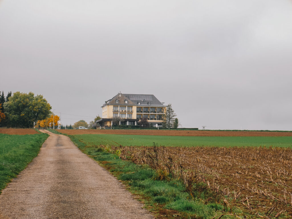
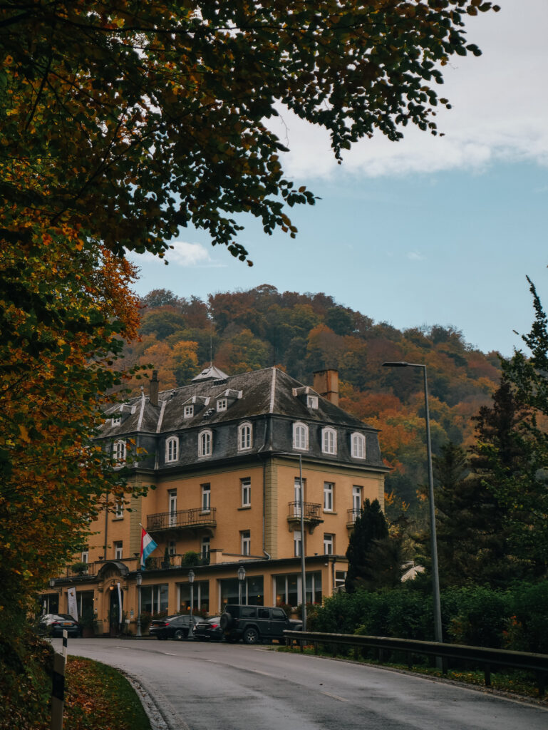
We were coming from Beaufort after a morning at the Beaufort Castles. We took bus 191 from Beaufort towards Echternach, getting off at Hotel Pérékop. For other Luxembourg bus and train routes, check the transport website. From the hotel, we walked down the small road across from it towards the Hohllay Cave Trailhead. If you drive your own car, there is parking available at the trailhead too. There are no entrance fees to park here and access the trail.
We set out down the Mullerthal Trail and began to make our way towards Echternach.
Hohllay Cave
After only several minutes of walking, we reached Hohllay, or Huel Lee, Cave. This little cave was formed from mining activities in the Middle Ages. The old mining operations are evident in some of the markings seen in the rocks.
We came across a few different caves as we wandered through the area.

Breechkaul Amphitheater
Just by the Hohllay Cave is the Breechkaul Ampitheater, which was built in 1979. Here, there is a stage just inside another small cave, which was also formed from previous mining activities. Just above the stage is a small, tiered seating area. Shows are held here in the summertime, and we think this would be quite a unique place to catch a performance!

Perekop Viewpoint
From the Breechkaul Amphitheater, we wound through the woods. We were there in the fall, and the trees were changing colors, dropping yellow and orange leaves all around us. This day was a gloomy one and, while the rain had thankfully stopped, fog still clung to the treetops and cliffs around the trail.

Eventually, the trail met the road and we crossed. Just by the little parking area there, we found the small gap in the rocks leading to the Perekop Viewpoint. We climbed the steep stairs through the dark and narrow crevice, coming out on top of the short cliff above the parking area. At the end of a short trail is a railed viewing point that overlooks the road and surrounding hills. It was especially pretty with the fall colors!
After taking in the views, we climbed down, went back across the road, and continued down the trail.

Labyrinths
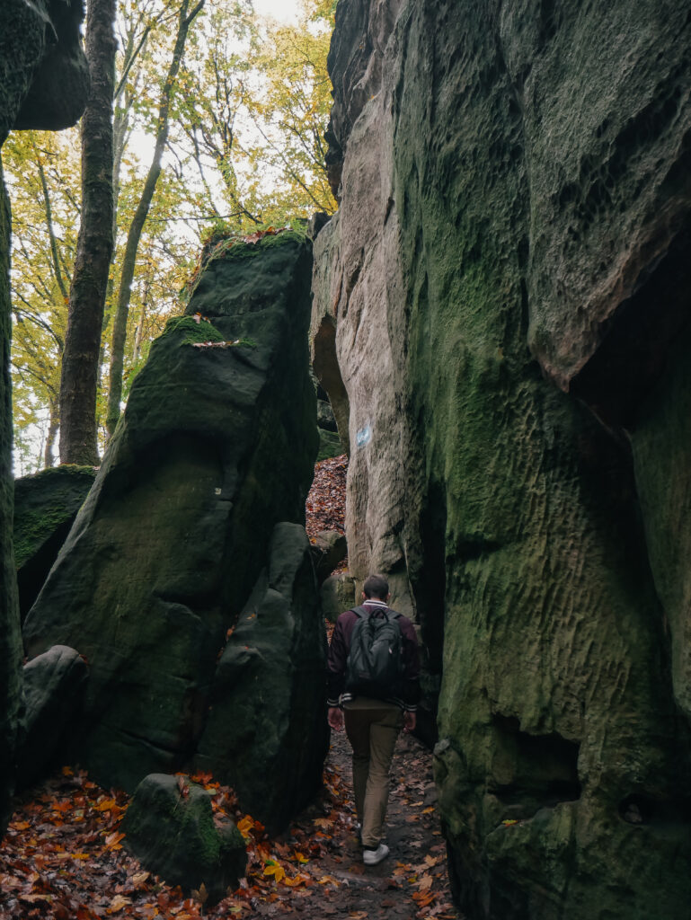
Much of the hike runs along the riverbed in between cliffs. At various points, the path winds through rocky labyrinths, like Wollefsschlucht (Wolves’ Canyon). We enjoyed walking among the massive boulders and between narrow crevices in the rock as we neared the end of our hike.

The Scout Camp
Our hike ended when the trail met the Echternach Scout Camp. Here, we walked down the drive to the main road (Rte de Berdorf). We planned to take the bus back to Luxembourg, so we backtracked up the road a bit to the bus stop outside the Hôtel Bel-Air. From there, we caught bus 211 heading back to Kirchberg, then a train back to Luxembourg City.

Alternatively, you can continue down the trail past the Scout Camp into Echternach. In Echternach, there are other bus routes, accommodation, and restaurants if you want to spend some time there. You can also continue your Mullerthal Trail adventure further if desired!
What to Bring for a Mullerthal Trail Day Hike
Water: A hike essential.
Snacks: In case you want to refuel along the trail.
Comfortable Walking Shoes: This section of the Mullerthal Trail isn’t strenuous, but the trail can be muddy and covered in roots and rocks at some points.
Mini First Aid Kit: An item we always like to have when hiking, just in case.
Camera: If you want to capture your adventure.
Layers: Check the weather and bring a rain jacket and other layers as necessary.
Sun Protection: Much of the trail is shaded, but bring a hat, sunscreen, and/or sunglasses if desired.
Like this Post? Pin it!


