With moss-covered forests, snowcapped peaks, and beautiful coastline all within close proximity to each other, Olympic National Park is quite a unique place. We had never been to the coasts of Washington together, so we decided to take a trip for Lia’s birthday. We spent three days seeing all we could see on the Olympic Peninsula before heading to Seattle.
Before we get into the itinerary, here are a few things we want to note. Firstly, we visited the area in April of 2021 when there were pandemic restrictions in place. The indigenous communities were closed to visitors, so we did not visit some of the famous beaches and sites that sit within these boundaries. Also, because it was April, there was still a considerable amount of snow in the mountains, limiting the activities we could do in the alpine areas. With the possibility of certain regulations and weather affecting roads and trails, always check the park website for updates.
Day 1: Olympia to Port Angeles
We woke up fairly early to be able to fit in all of our activities for the day. From our hotel in Olympia, it was about one hour and 15 minutes to our first destination.
Staircase Rapids & Lake Cushman
Distance: 2.1-mi (3.4-km) loop Difficulty: Easy
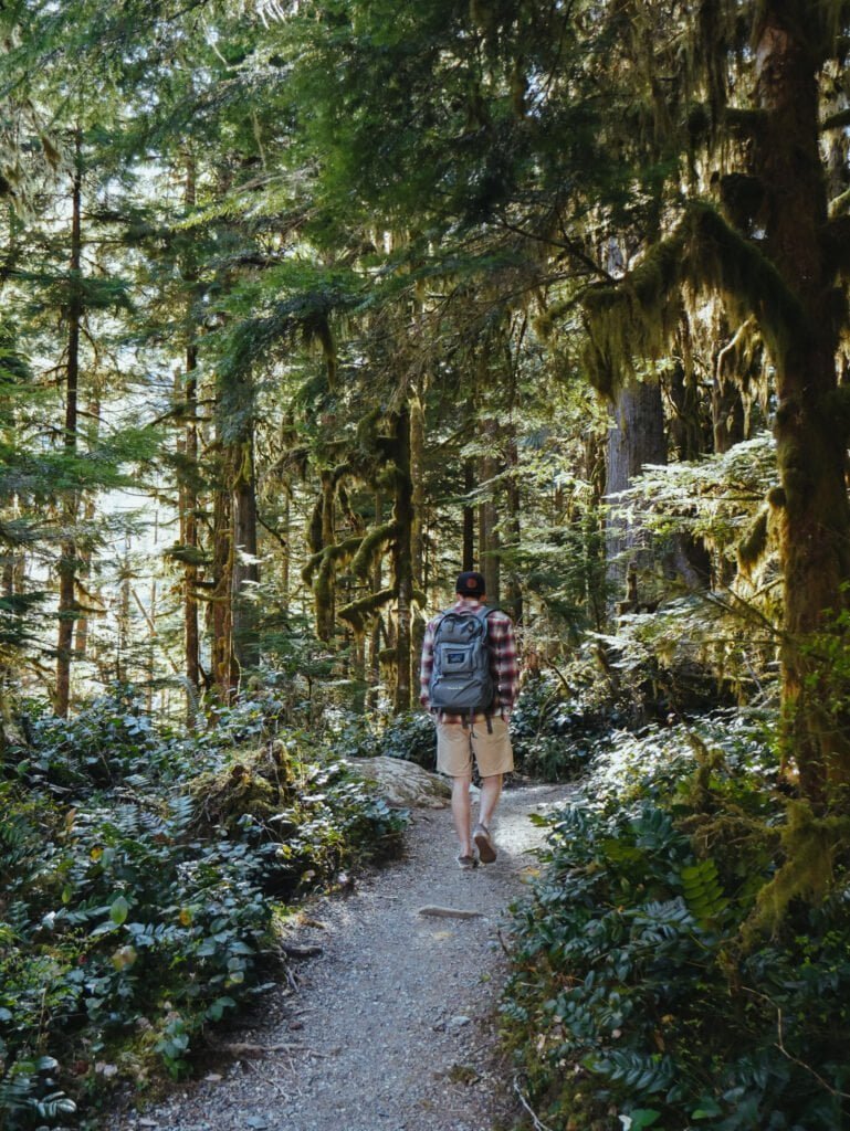
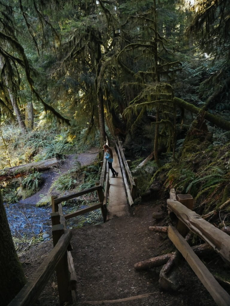
The Staircase Rapids Loop sits in the southeast part of Olympic National Park. This trail features huge trees, moss-covered landscape, and a few scenic bridges over streams and rivers. This was our first experience in the park and we quickly fell in love! For more in-depth info on hiking to Staircase Rapids, check out our other post.
After hiking the loop, we headed down the road back the way we came. The dirt road runs along Lake Cushman, which is surrounded by rugged peaks and has massive old tree stumps jutting out of the water. There are quite a few pull offs you can stop at. We chose one at random and scrambled down to the shoreline to take in the warmth of the sun for a bit.

Murhut Falls & the Duckabush River
Distance: 1.6 mi (2.6 km) roundtrip Difficulty: Easy
Murhut Falls isn’t actually in Olympic National Park. It lies several miles down a rough dirt road in Olympic National Forest. Before the waterfalls, we stopped at the Duckabush River bridge just down the way from the Murhut Falls trailhead. Here, there is a rope swing over the blue-green river. This is a beautiful place for a swim, though the water was freezing in April! There were some people hanging out just downstream, which also looked like a nice spot to relax for a bit.
NOTE: The rocks are slippery and the water levels and current may vary. Use caution and your best judgement to determine if this activity is safe at the time of your visit.
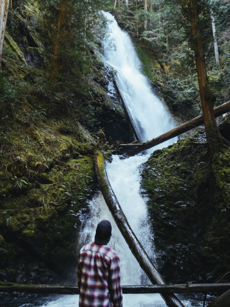
Afterwards, we headed up to the Murhut Falls trailhead. Parking is limited, so it is best to arrive early if you visit during peak times. This trail climbs steadily uphill through a wooded area before reaching the roaring falls. Murhut Falls plunges 100 feet through the mossy forest. You can view the falls from both the base and a higher overlook. If you’re looking for a quick, easy hike with a stunning reward, this is a great choice!
Rocky Brook Falls
Distance: 0.1 mi (0.2 km) roundtrip Difficulty: Easy
Cruising to Rocky Brook Falls was a breeze after driving roads covered in pot holes for much of the day. After parking in the pullout, we crossed the road and began the quick stroll to the falls. Rocky Brook Falls is pretty much a roadside attraction, but the short walk does go through private property. So please stay on the path.
When we arrived, it was pretty packed. There were many people spread out on the rocks below the falls, taking in the view while kids waded in the shallow water. We didn’t enjoy Rocky Brook Falls as much as the other waterfalls on this list, but this was a quick stop that is worth it if you have the time!
After the falls, we drove up to Port Angeles to check into our hotel before our sunset excursion.

Hurricane Ridge & Viewpoints
Distance: Minimal Difficulty: Easy
Our original plan was to take a sunset hike up Klahhane Ridge, which offers absolutely stunning views of the rugged mountains in Olympic National Park. However, in April, there was still way too much snow up there for us to hike it comfortably without more of our winter gear and clothing. So, we opted to just drive to the Hurricane Ridge Visitor’s Center and watch the sunset.
The drive up Hurricane Ridge Road to the visitor’s center is about 40 minutes from Port Angeles. There are a few stunning viewpoints along the road, so we made sure we had time to stop at them and make it up to the top by sunset. The Morse Creek Overlook provides beautiful ocean and mountain views.
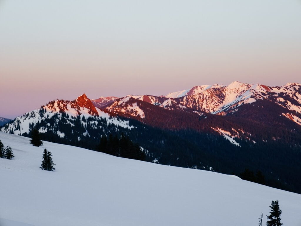
When we arrived at the Hurricane Ridge Visitor’s Center, there were several other cars up there for sunset. We walked around snowy hillside and near the visitor’s center as we waited. It was pretty chilly once the sun dropped below the horizon, but it was SO beautiful! The sky turned pink and orange over Mt. Olympus and the surrounding rugged peaks.
If you hike Klahhane Ridge:
Distance: 1.7-5 mi (2.7-8 km) roundtrip (depending on the route) Difficulty: Moderate to Difficult
If you are interested in hiking Klahhane Ridge, you can do so via the Switchback Trail, which starts just down the road from the visitor’s center. This route is difficult and steep, but is just under a mile long one way. You can also start from near the Hurricane Ridge Visitor’s Center, which offers an easy to moderate climb up the hillside in about 5 miles round trip.
We ended our day driving back in the dark to our hotel in Port Angeles.

Day 2: Port Angeles to Hoh Valley
Mt. Storm King & Marymere Falls
Distance: 4.7 mi (7.6 km) roundtrip Difficulty: Moderate
The next morning came way too quickly as we woke up early to make it to the Storm King Ranger Station around sunrise. We were admittedly not motivated enough to hike in the dark to make it to the top of Mt. Storm King by sunrise. Our main goal was to get there before the crowds because we heard that there is frequently a line at the top.
The hike to the viewpoint was a constant uphill but through a very stunning forest with golden sunbeams reaching through the trees. The last section to the top was a series of ropes that you can use to help you up the rocks. Once we made it up the last crest, we were rewarded with a gorgeous view over Lake Crescent.
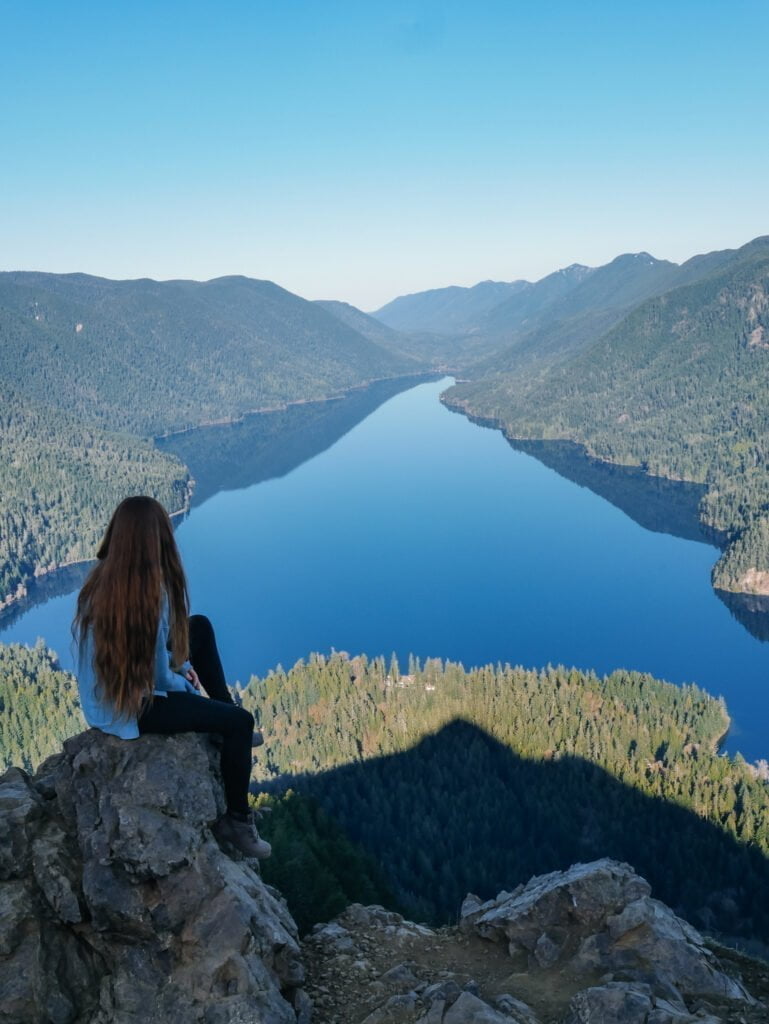
We took in the view at the top and decided to head down when groups of hikers began to appear. A quick detour to Marymere Falls on your way back is worth it! We strolled through more mossy forest, over a bridge, and up some wooden stairs to overlook the pretty waterfalls. It was particularly serene in the morning light.
Lake Crescent
Distance: Minimal Difficulty: Easy
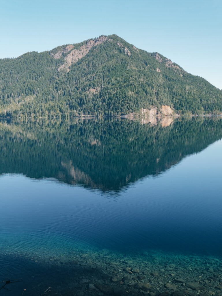
Lake Crescent is one of the largest lakes in Washington and the area around it is absolutely beautiful with many activities to do. We wanted to head to the Devil’s Punchbowl, but the road along the northeast side of the lake was closed. So, we just decided to stop along the road and admire the various viewpoints by the water. You’ll see quite a few pullouts as you drive down the 101. The clear blue water was beautiful in the morning light!
Fairholme Campground and Beach sit on the west end of Lake Crescent. This is a popular place to swim, kayak, paddle board, picnic, and just enjoy the lake views.
Sol Duc Falls & Salmon Cascades
Distance: 1.6 mi (2.6 km) roundtrip Difficulty: Easy
From Lake Crescent, we headed inland to Sol Duc Falls. The Sol Duc Valley is one of the most popular attractions in Olympic National Park. In the area, you’ll find great camping and a resort with hot springs, beautiful forest scenery, and a variety of trails for all hiking levels.
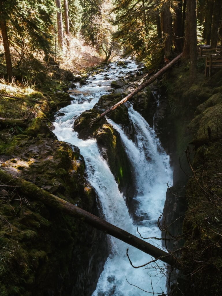
The trail to Sol Duc Falls is an easy hike with a stunning reward. It winds through the mossy forest with cascades flowing around the path. Sol Duc Falls is truly stunning, and a wooden bridge over the deep canyon gives hikers a great view of the cascades. For more information on the hike, click here!
On our way back out to the 101, we stopped at the Salmon Cascades. This is a very short trail from the small parking area to a viewpoint over the river. At some points during the year, you may spot some salmon making their way upstream.

Hall of Mosses & Hoh Valley
Distance: 0.8 mi (1.3 km) roundtrip Difficulty: Easy
We drove towards the west side of the Olympic Peninsula to the Hoh Valley where we would spend the rest of the day. Our first stop was the Hall of Mosses. While the trail through the moss-covered trees was very beautiful, the area was incredibly crowded. We also didn’t think that the scenery was much mossier than the area around Staircase Rapids and Marymere Falls. If you’re planning on visiting the Hall of Mosses, we recommend arriving early in the morning or in the evening to avoid the crowds.
After seeing the crowds at Hall of Mosses, we were worried about finding a campsite since the free, dispersed camping spots in the Hoh Valley are very limited. So, we headed back down Hoh Valley Road to find a spot. Quite a few were filled, but we ended up finding a nice spot. Since we weren’t able to hike to Devil’s Punchbowl earlier that day, we had the afternoon at camp to hang out at the river, play games, and relax.

Day 3: Olympic Coast
Rialto Beach
Distance: 3.4 mi (5.5 km) roundtrip Difficulty: Easy
Rialto Beach was one of our favorite spots in Olympic National Park. We weren’t able to visit some of the famous beaches on the coast due to closures, but felt lucky that we had the opportunity to walk down Rialto Beach.
Hiking Rialto Beach to Hole in the Wall was our first activity of the day, and it was so peaceful walking along the shore as the sun lifted the fog. The combination of rugged sea stacks, misty surf, and huge fallen trees made the hike really unique to us. We also saw a ton of eagles soaring over the beach and were there during low tide to examine the wildlife in the tide pools. After exploring the large arch, or Hole in the Wall, we headed back the way we came for our following beach adventures.

Ruby Beach
Distance: <0.25 mi (0.4 km) plus more if you hike down the beach Difficulty: Easy
Ruby Beach is your classic PNW beach. It has scenic shores lined with pines and large sea stacks. It is a popular spot among photographers. We arrived mid-morning and the parking area was already full, so we had to park up the road a ways.
From the parking area, we hiked down the hill to the shore to walk among the sea stacks. You can walk just a short ways down the beach or walk it for a few miles – whatever you feel like doing or have time for!

Kalaloch Beach & the Tree of Life
Distance: Minimal – but you can walk down the beach a ways Difficulty: Easy
Kalaloch Beach is home to the renowned Tree of Life. Over time, water flowing below this tree has eroded the soft earth from around its roots. It is now growing over a large gap with its roots supporting it by clinging to the remaining earth around it. Below the tree is now somewhat of a cave that you can step into.
From the Kalaloch Campground and Beach parking area, the Tree of Life is only a short walk down some wooden stairs leading to the beach. Kalaloch Beach itself is also lovely. While this section of Kalaloch doesn’t have quite the dramatic scenery of Rialto or Ruby Beach, it is larger and sandier, making it a great place to lie out and spend some time on the shore.

After enjoying a bit of the sea and sun at Kalaloch, we made the drive out of Olympic National Park and to Seattle. We would love to go back to Olympic National Park because there is so much more to see. But, we feel like this itinerary allowed us to see a lot in the time we had and gave us a good taste of the wide variety of landscapes that lie within the park.
Like this Post? Pin it!


