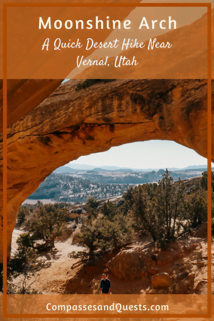
When most people think of arches and classic red rock views, southern Utah is what usually comes to mind. People flock to Arches and Zion National Parks, Moab, Lake Powell, and other famous spots, but there are parts of northern Utah that are seldom considered as a destination. There are absolutely some noteworthy desert adventures up north that are worth the stop! As we passed through Vernal, we were glad we came by Moonshine Arch.

Getting to the Trailhead
The Moonshine Arch trailhead isn’t particularly hard to find, but when we went, it wasn’t very well-marked. From the main street in Vernal, head north about 6.6 miles on Highway 191. You’ll pass Steinaker Lake and soon come to a curve in the highway with a dirt turnoff on the left. From the right side of the road, the turn is a bit hard to see because it drops off the opposite side. There are rumors of additions coming to the area to make the arch more accessible and easier to find.
Continue across the wash and follow the road until you reach a rusted blue metal sign pointing to Moonshine Arch. Go left, staying on the dirt road until you reach the parking area. There are a few roads/paths through the desert; we just tried to stay on the most developed one. When in doubt, keep left.

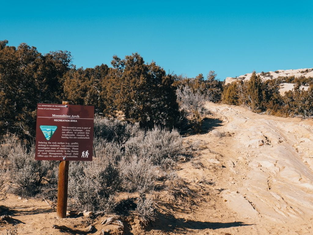
Soon, you’ll reach a cattle gate that marks the trailhead. This dirt area is where most people park. However; this is a popular off-roading area for Jeeps, ATVs and other high-clearance vehicles if you want to continue through the gate and tackle the trail. The road to the trailhead was a bit sandy in spots, but not too rocky, so the area before the gate can be reached by most vehicles in dry conditions.
Note that the road passes through private property before you reach the BLM land that the arch is located on. Be respectful by staying on the road to the trailhead, closing any cattle gates you pass through, and keeping an eye out for livestock crossing the road.

Hiking to Moonshine Arch
Many claim that this is a heavily trafficked hiking trail that is also popular with off-roaders. Maybe we were lucky, but going mid-morning on a weekday allowed us to enjoy the arch with just one other couple. Beyond the cattle gate, we followed the wide trail. The incline is only slight, but the lack of shade during the climb had us sweating a bit. As you hike, watch for snakes and other critters!
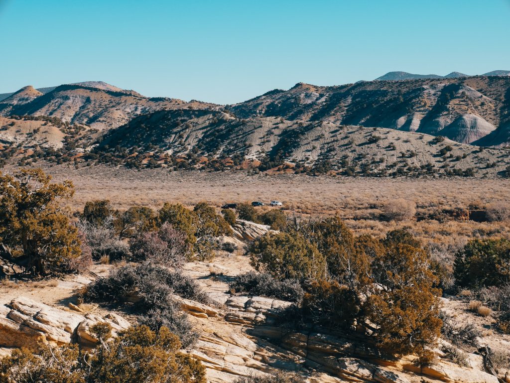
The beginning of the hike goes along a Jeep road through pretty desert landscape with some slick rock visible in the near distance. A short ways into the hike, there’s a fork where you’ll stay right on a sandy trail. Some of the trails leading off the wider Jeep path had us guessing if we were headed in the right direction, but we kept heading up the hill towards the slick rock formations, following the footprints along the way. There are a couple signs here and there to guide you as well.
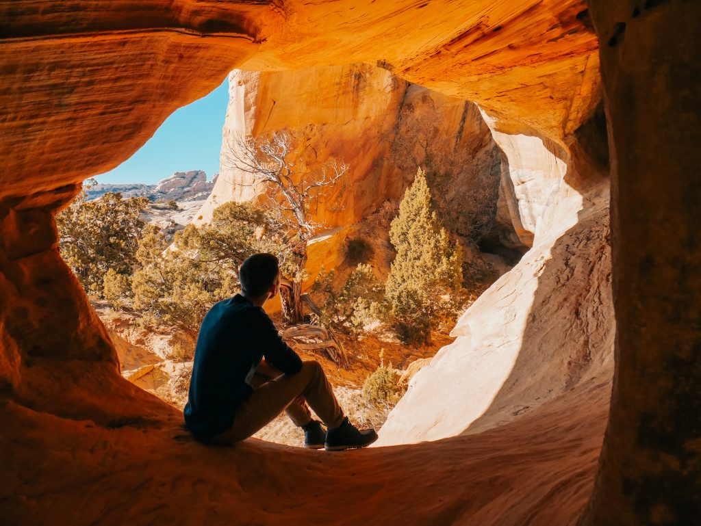
To the delight of our legs, the deep sand eventually turned into slick rock. From here, it was a short ways to Moonshine Arch. You can’t really see it until you’re upon it! After just under a mile, we came to it from the south and were thrilled to see a beautiful shaded alcove to enjoy the view. After climbing around for a bit and snapping some photos, we headed back down the trail the way we came.

Moonshine Arch Overview
Hike Type: Easy out-and-back trail
Distance: 1.6 miles round trip
Duration: 1-2 hours
Cost: Free
Best Time to Visit: Early morning/evening to avoid the heat. For photos, the lighting is best mid-afternoon when the sun lights the alcove.
What to Bring: Sturdy shoes for walking in sand and on slick rock, plenty of water, sunscreen/hat, camera, downloaded map if you’re unsure of the path.
Like this Post? Pin it!